
Services
One partner. Multiple construction technologies.
Everything below is work Pro Edge delivers today — capture in the field, processing in the office, and information your project team can act on.
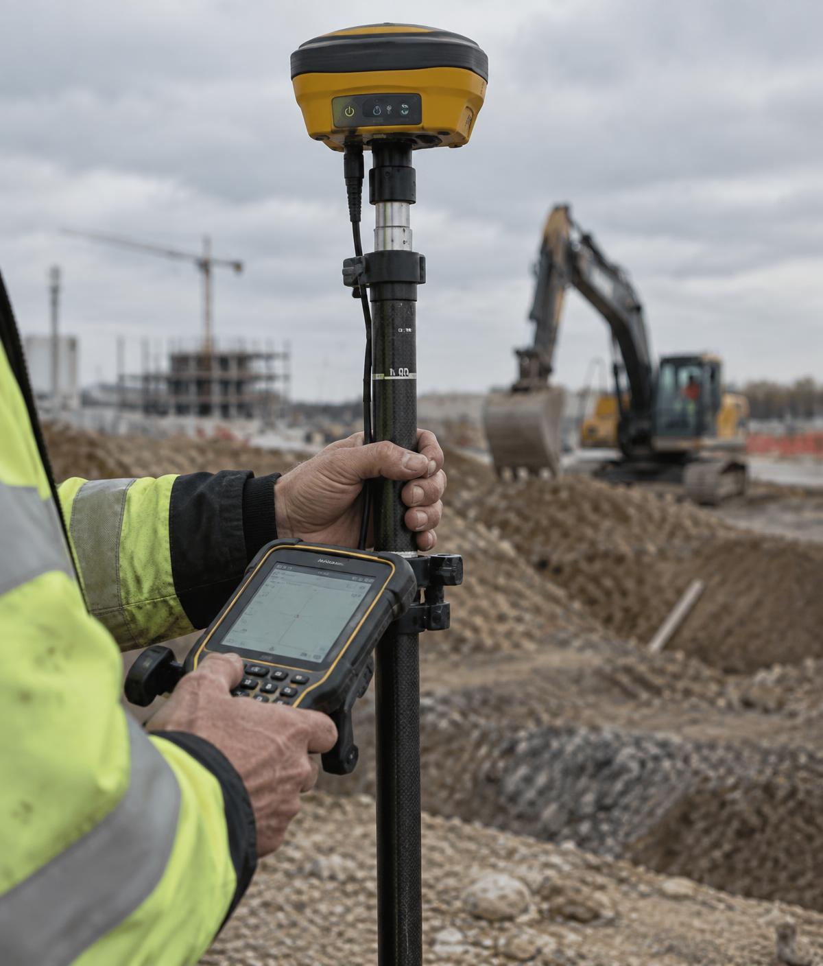
Construction Surveying
Construction layout, GPS/GNSS positioning, total station work and as-built information for civil construction and land development.
- Layout staking
- GNSS positioning
- Total station work
- As-built records
Earthworks Tracking
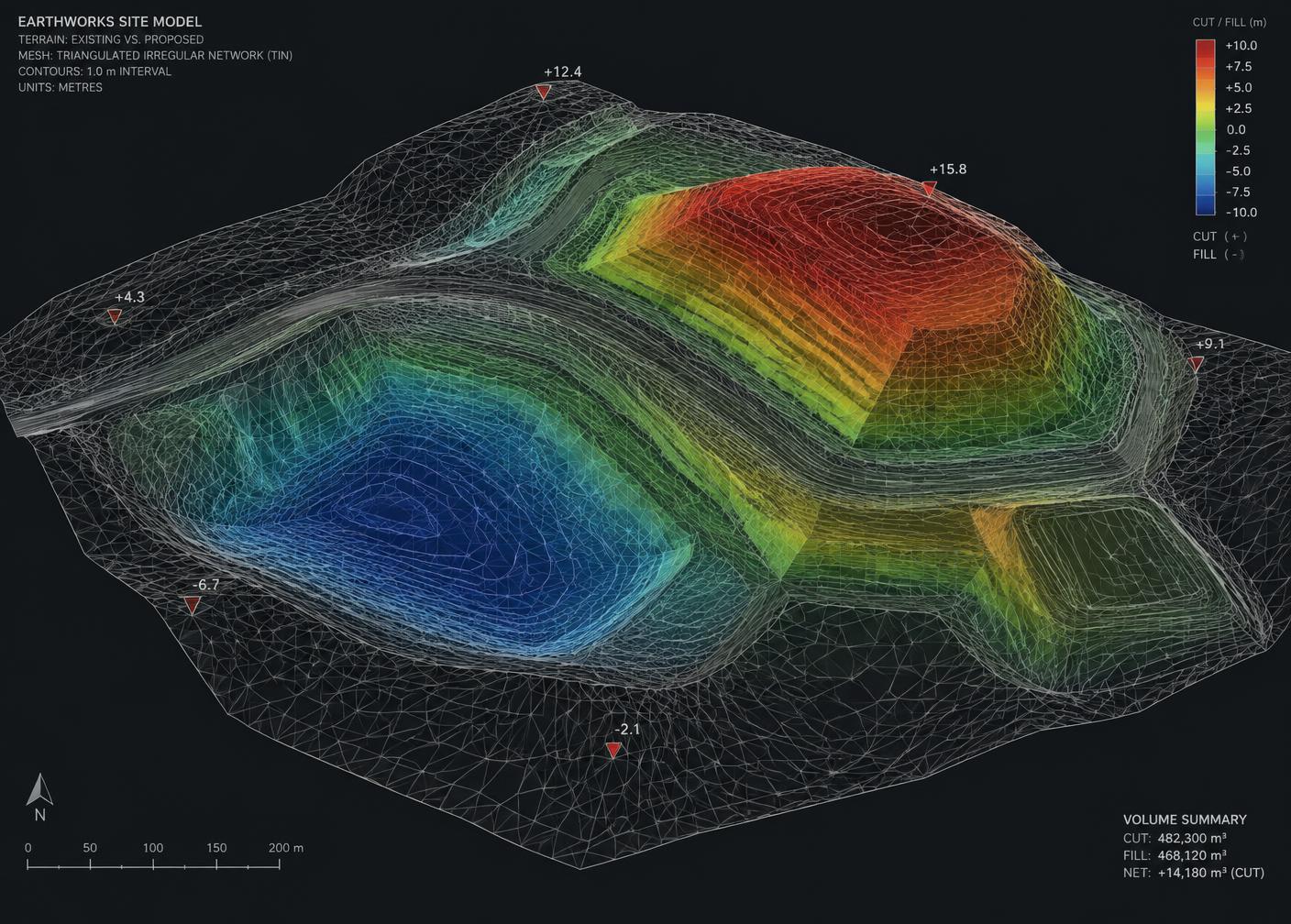
Repeat drone surveys and surface analysis used to measure cut/fill, stockpiles, site quantities and construction progress.
- Cut / fill volumes
- Stockpile quantities
- Progress comparison
- Period reports
Progress Tracking & Documentation
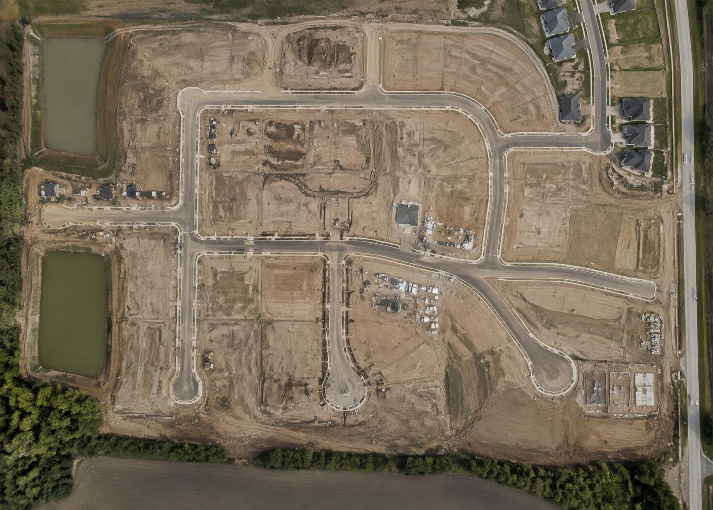
Recurring photo, video and drone documentation that records site conditions and build progress on any type of project — commercial, industrial, heavy civil or resource. Delivered as organized, date-stamped records that owners, managers and trades can actually review, with capture cadence and reporting that grow with your project.
- Photo / video documentation
- Drone progress capture
- Date-stamped site records
- Period-over-period comparison
Drone Mapping & Survey
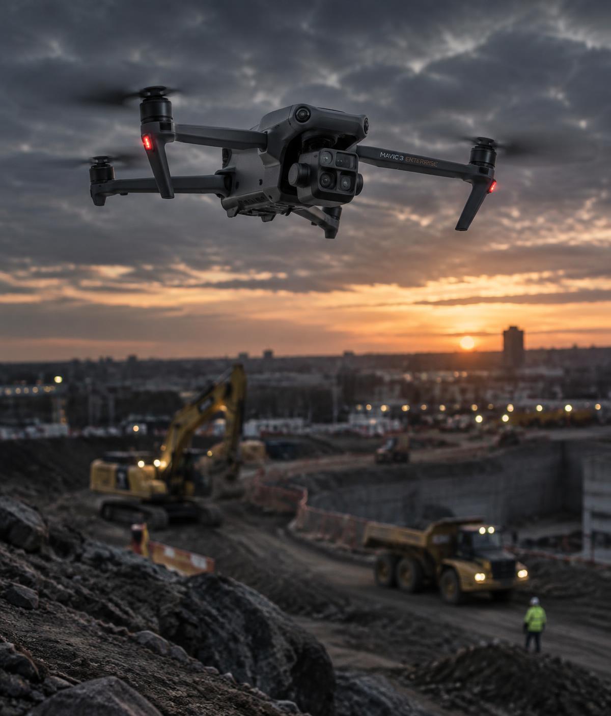
Aerial mapping and photogrammetry for active construction sites, producing high-resolution imagery and measurable digital site information.
- Orthomosaics
- Point clouds
- Survey control
- Measurable imagery
3D Surface Modelling
Creation and management of digital terrain surfaces, contours and construction-ready data from survey and drone information.
- Digital terrain models
- Contours
- Design surfaces
- Civil 3D data
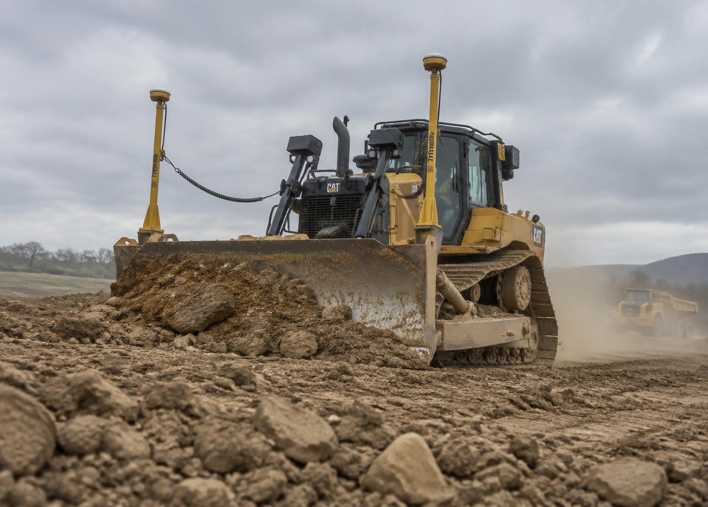
Machine Control Support
Preparation, management and troubleshooting of digital files and field data used with GPS and machine-control systems.
- Machine files
- Localization
- Field troubleshooting
- Data management
GPS / Field Technology
GNSS equipment, setup, field support and practical technology assistance for construction crews and contractors.
- GNSS rentals
- Setup & calibration
- Crew support
- Remote assistance
Technology
The tools behind the data.
Software & platforms we work with
Next step
Not sure which service you need?
Describe the site and the schedule. We'll tell you what data is worth collecting.