
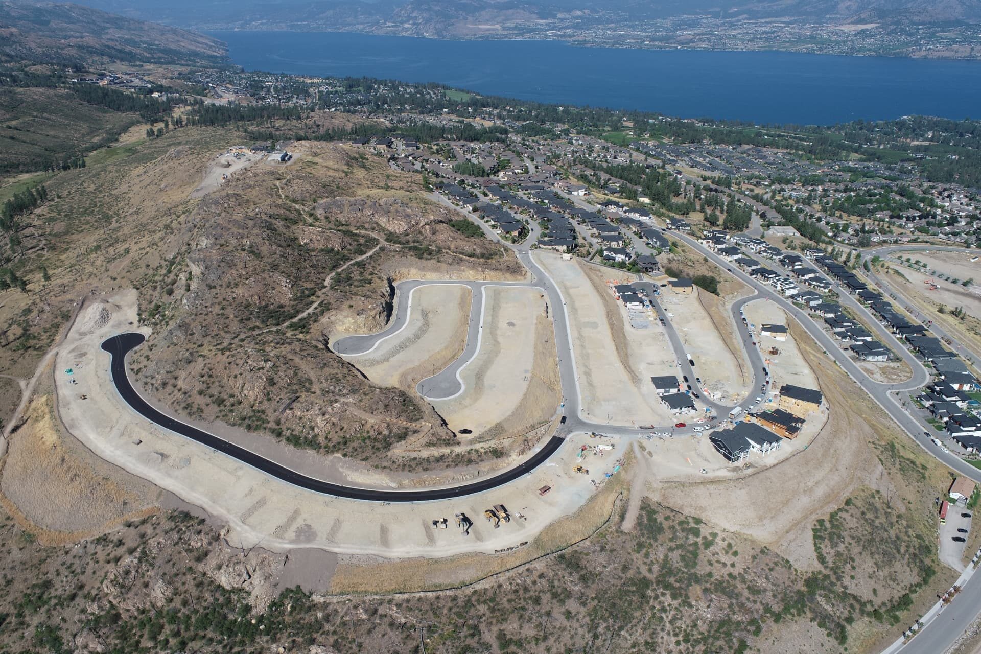
Land development
Hillside Subdivision Grading
Survey control, drone capture and cut/fill reporting across a multi-phase residential grading package.
- Orthomosaics
- Period volumes
- Progress surfaces
Projects
A snapshot of the kind of work we take on. Project details and imagery shown are representative of typical scope — reach out for references specific to your sector.
Land development
Survey control, drone capture and cut/fill reporting across a multi-phase residential grading package.
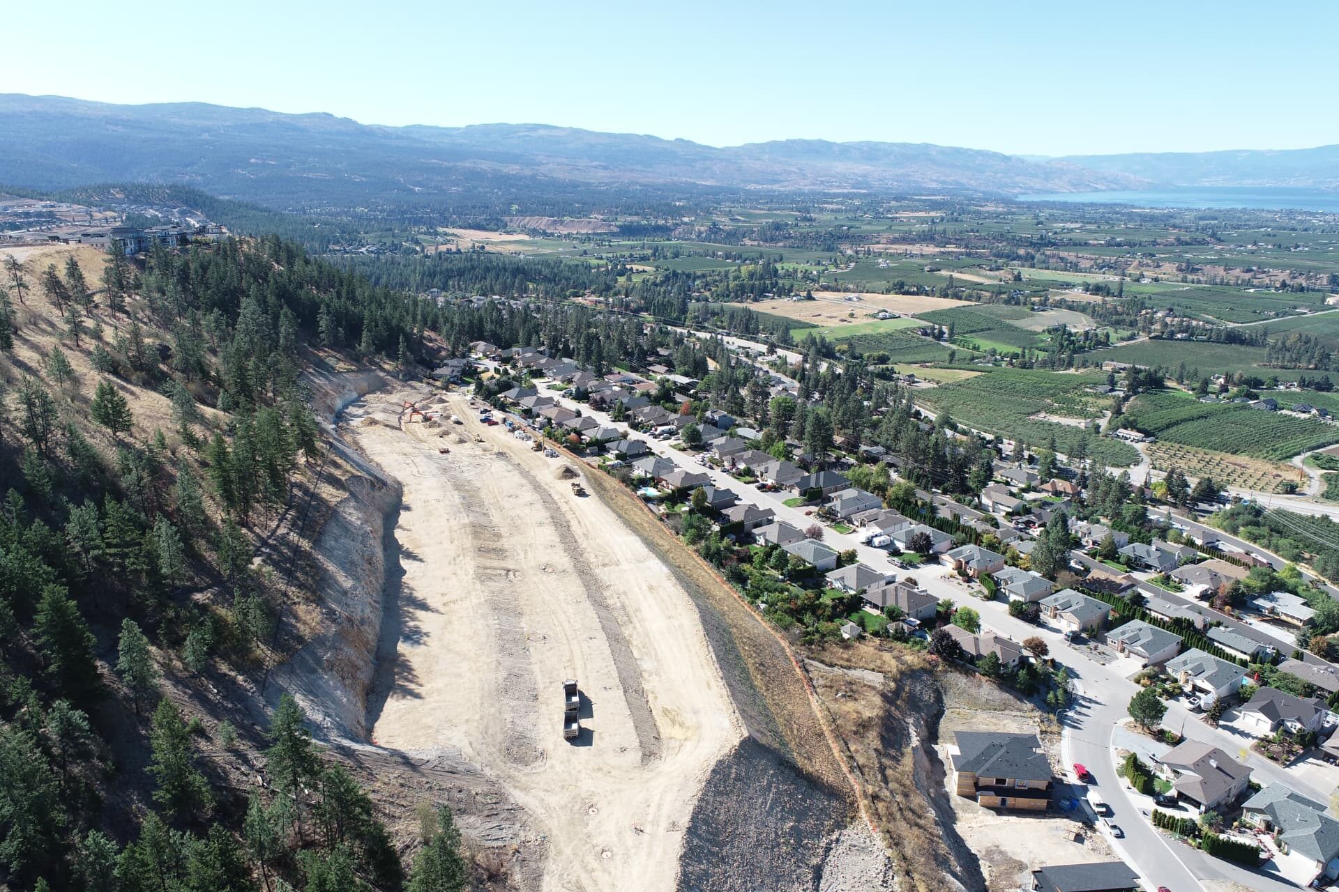
Civil construction
Construction layout, machine-control file preparation and ongoing field support for grading crews.
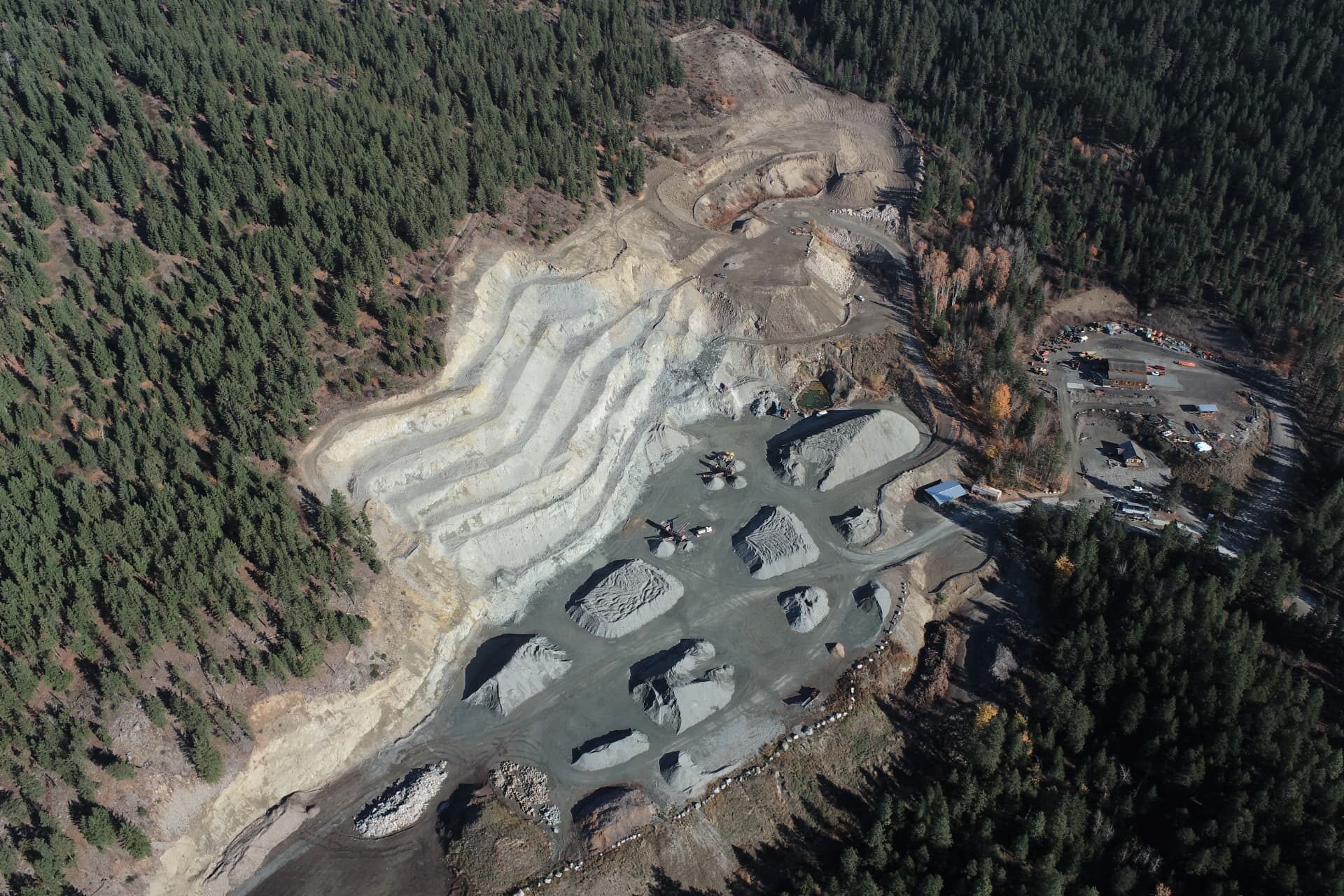
Quantity verification
Drone capture and surface modelling to verify stockpile inventory against records.
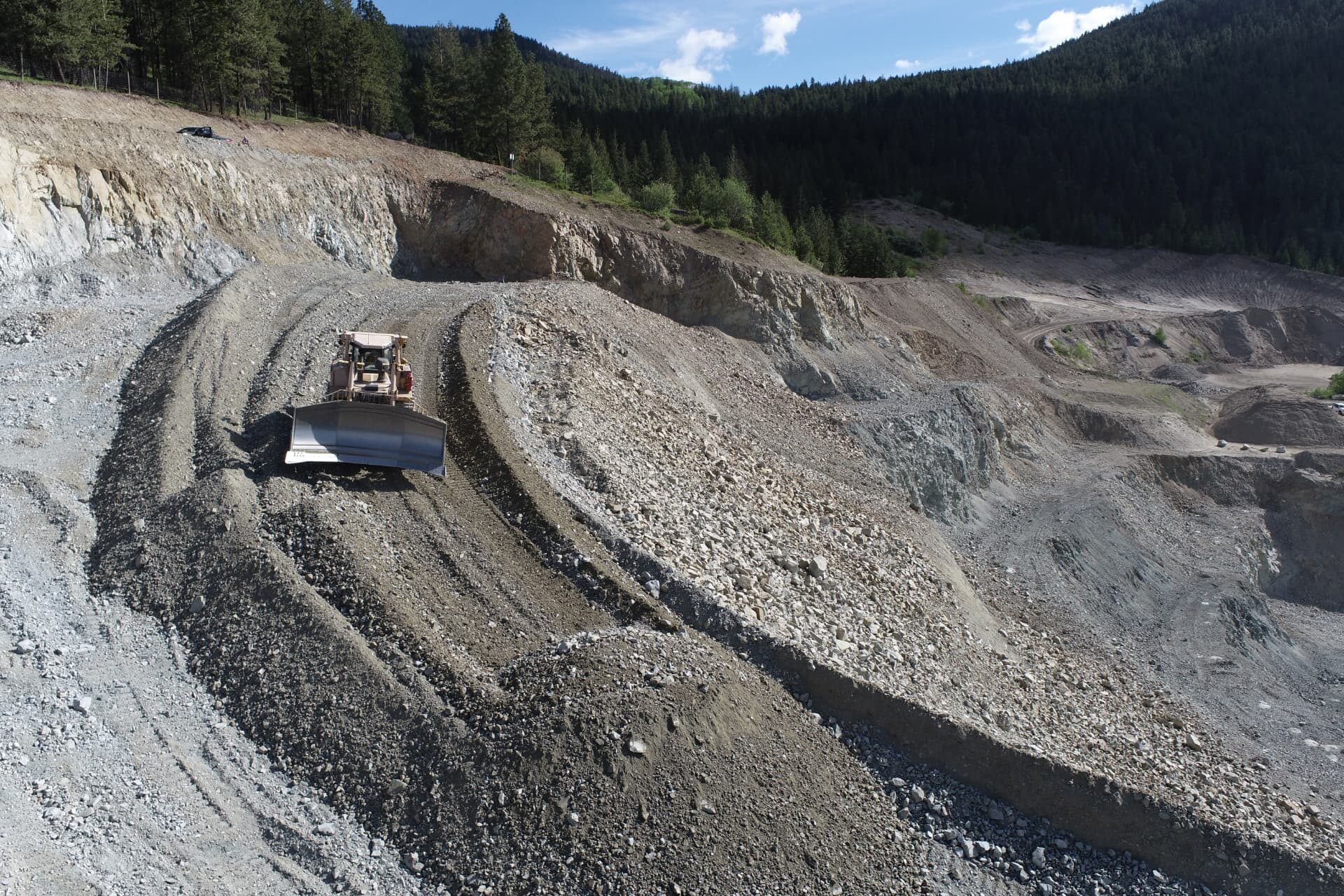
Earthworks tracking
Repeat capture of an active bulk earthworks operation with period-over-period quantity reporting.
Your project
We can share relevant examples and references for your sector and project size.