
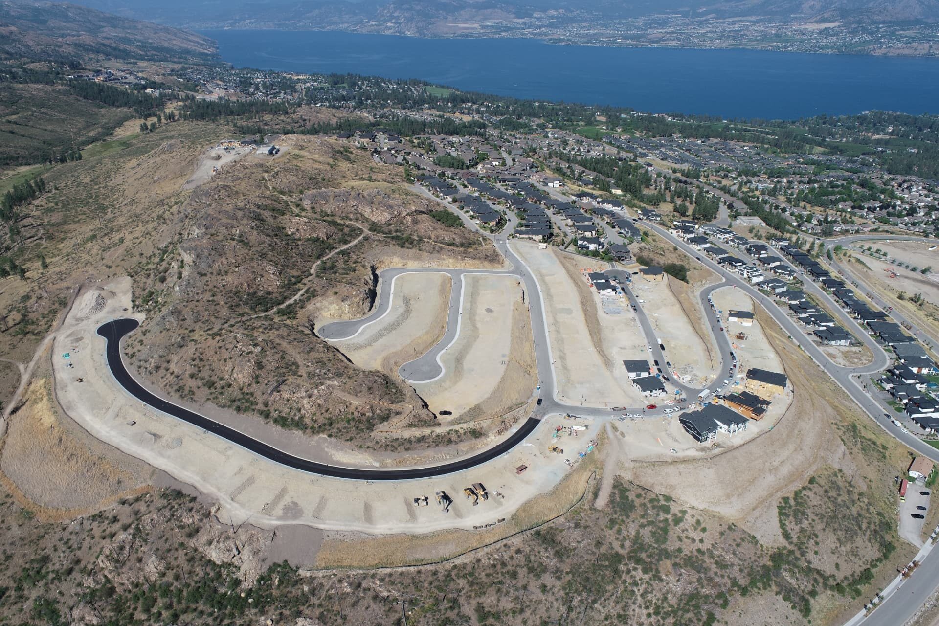
Okanagan Valley & beyond
Construction data.
Built for the field.
Construction surveying, drone mapping, earthworks tracking, progress documentation and digital site solutions for contractors and developers.
Capture
Build
Analyze
Deliver
Services
One partner. Multiple construction technologies.
Pro Edge does more than traditional surveying. We capture accurate field information, process it into digital data, measure project conditions and deliver information your crews can use.
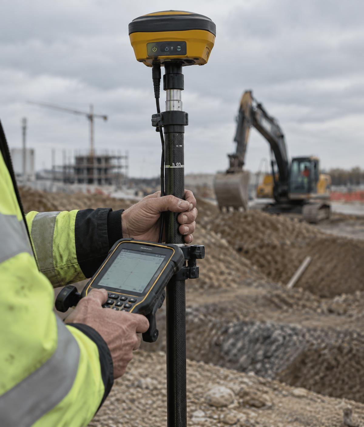
Construction Surveying
Layout, GNSS positioning and as-builts.
Detail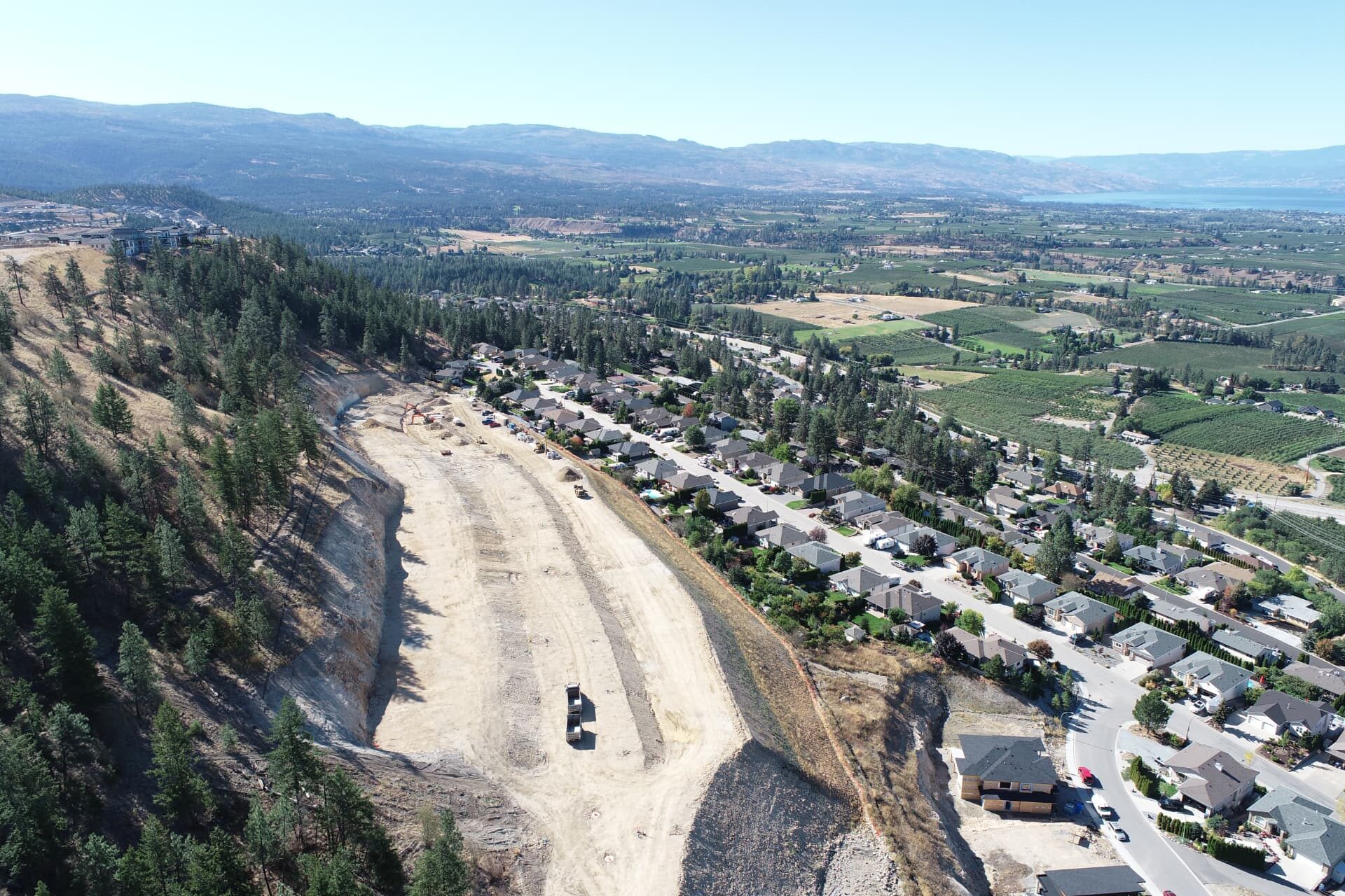
Earthworks Tracking
Repeat surveys that measure how the site is moving.
Detail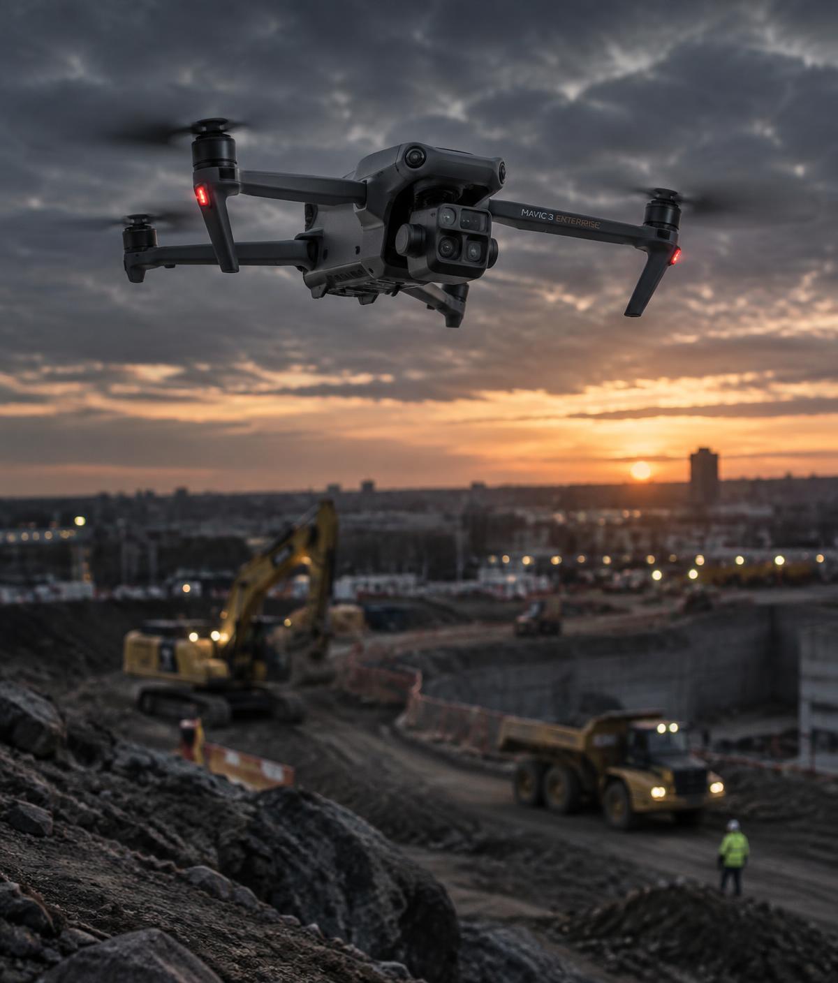
Progress Tracking & Documentation
Scheduled capture that shows where the build stands.
Detail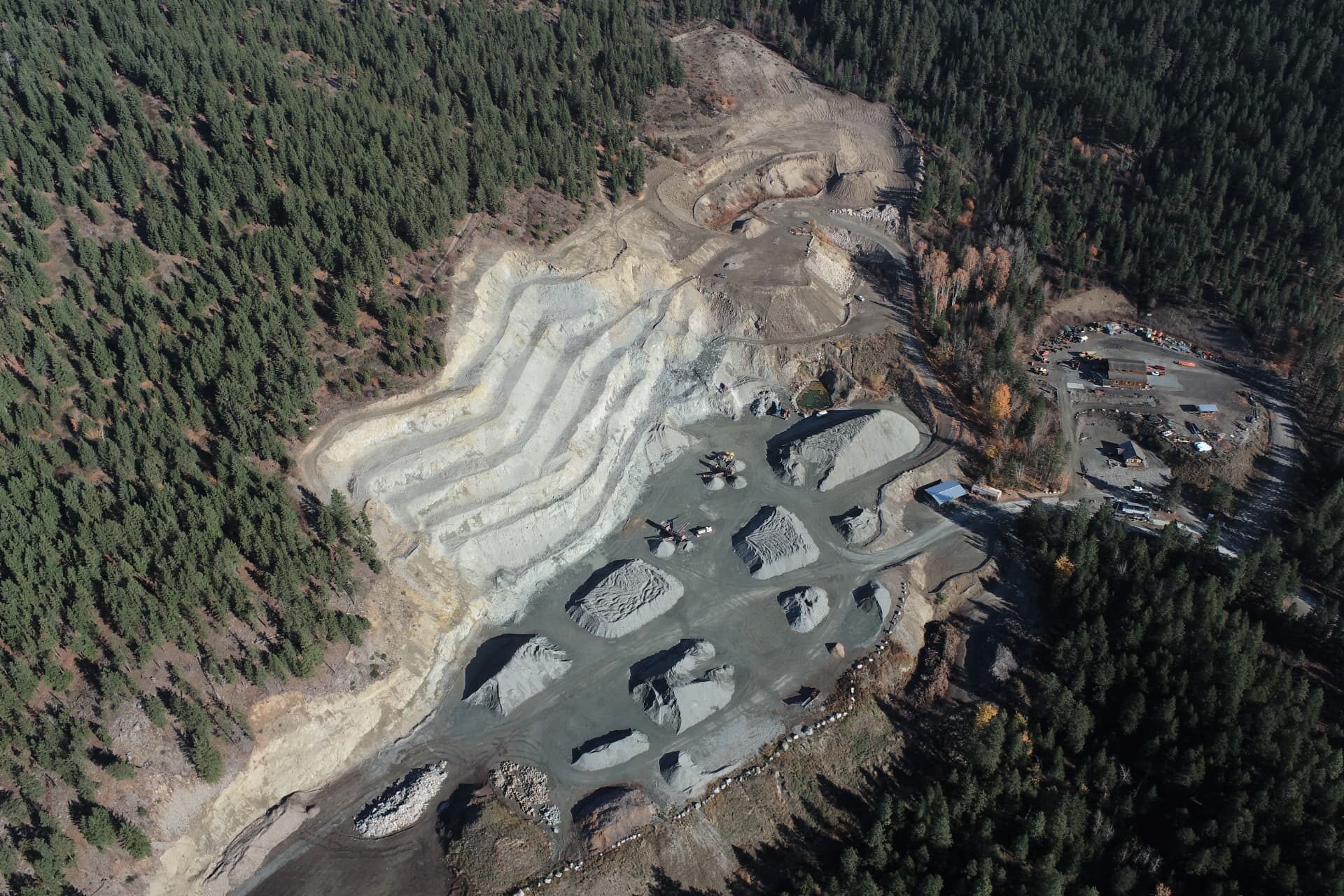
Drone Mapping & Survey
Aerial capture and photogrammetry over active sites.
Detail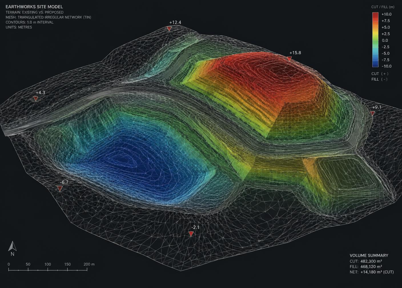
3D Surface Modelling
Digital terrain built from real field data.
Detail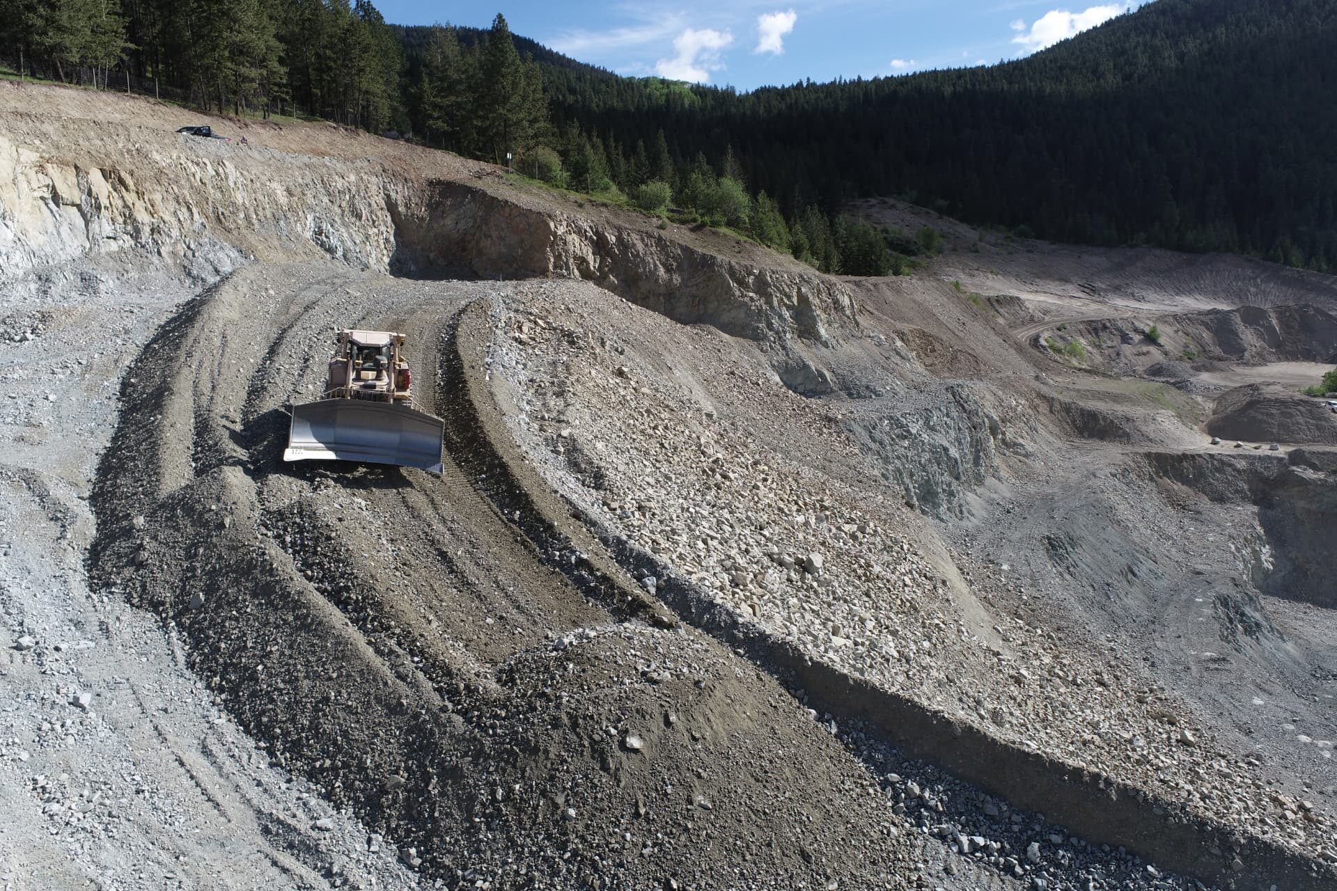
Machine Control Support
The digital files your iron actually runs on.
DetailGPS / Field Technology
Equipment, setup and on-site technical support.
DetailTechnical workflow
From field capture to usable project information.
You are not buying a drone flight or a GPS rover. You are buying accurate information about your project — measurable, current and ready to act on.
Capture
GNSS and total station control, drone imagery, survey control on the ground.
Build
Photogrammetry processing into digital surfaces, terrain models and CAD.
Analyze
Cut and fill, stockpile volumes, progress quantities measured against design.
Deliver
Reports, surfaces, models and machine-ready construction data.
Earthworks tracking
Know exactly where your project stands.
Scheduled monthly or bi-weekly drone mapping turns your site into a measured record. Repeat surfaces and imagery show how the ground is actually moving — not how it was estimated to move.
Repeat capture
Scheduled drone mapping on your cycle.
Quantities
Cut, fill, stockpile and measurable volumes.
Progress
Surface-over-surface comparison across periods.
Deliverables
Orthomosaics, surfaces, models and reports.
Technology & data
Field-proven hardware. Modern data workflows.
Equipment is proof of capability. What matters is what the data lets you do.
Field hardware
- Trimble GNSS / GPS
- Carlson GNSS
- Total stations
- DJI Phantom 4 RTK
Software & workflow
- Carlson
- Propeller Aero
- AutoCAD Civil 3D
- Trimble workflows
Outputs
- Orthomosaics
- Digital terrain models
- 3D surfaces
- Volume reports
- Machine-control data
Software & platforms we work with
Industries
Civil, commercial, industrial, general contracting and mining.
Any project that moves material or needs measurable site information — from subdivisions and building pads to plant sites and open pits.
Civil & Earthworks
Survey layout, cut/fill quantities, surfaces, machine-control data and progress tracking.
Commercial Construction
Building layout, site grading control, as-builts and site documentation through the build.
Industrial
Control networks, layout and as-built capture on plant, yard and heavy industrial sites.
General Contracting
Field data, progress information and coordination support across trades and subcontractors.
Mining & Aggregates
Pit and stockpile mapping, inventory volumes and period-over-period extraction reporting.
Developers & Site Utility
Visibility into site progress, measurable project information, GNSS layout and as-builts.
Not listed?
Tell us what you're buildingGet started
Have a project coming up?
Tell us what you're building. We'll tell you what data you need.