
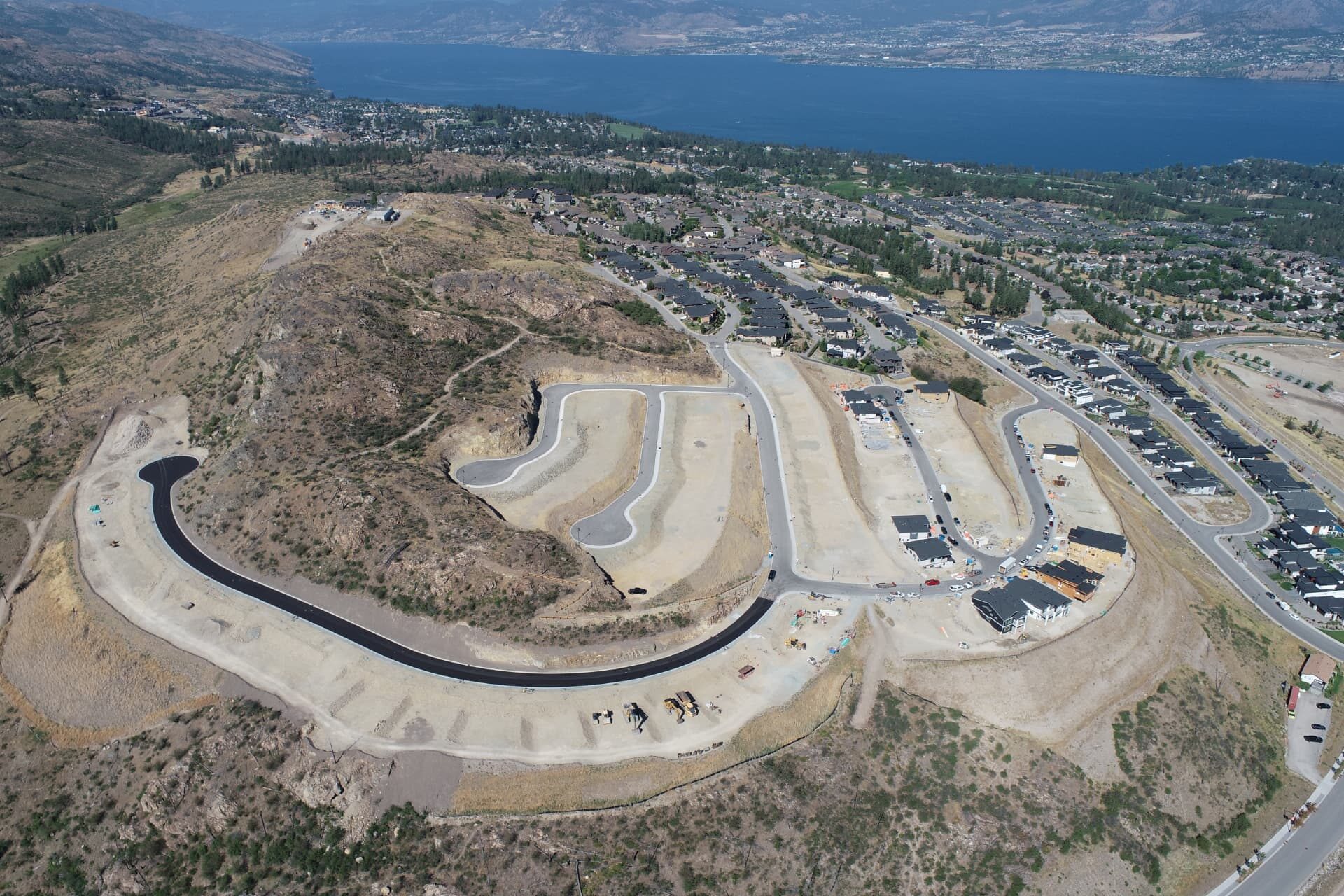
Earthworks tracking
Know exactly where your project stands.
Repeat drone mapping turns an active earthworks site into a measured record. Every period you get quantities, progress and imagery grounded in real survey control.
The cycle
Five steps, repeated on your schedule.
01
Site capture
A scheduled drone flight over the active site, flown against fixed survey control.
02
Process
Photogrammetry builds an orthomosaic and a measurable digital surface.
03
Quantify
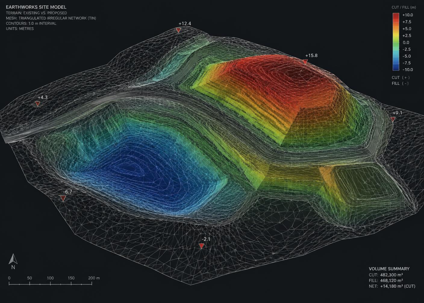
Cut, fill and stockpile volumes are calculated against design or prior surfaces.
04
Compare
Surface-over-surface comparison shows exactly how the site changed this period.
05
Report
Quantities and progress delivered in a format your team can use immediately.
What you get
Measured, not estimated.
- Repeat site capture
- Scheduled monthly or bi-weekly drone mapping on a cycle that matches your billing and schedule.
- Quantities
- Cut, fill, stockpile and other measurable quantities, calculated from real surfaces rather than estimates.
- Progress
- Repeat surfaces and imagery show how the site changes week over week and month over month.
- Digital deliverables
- Orthomosaics, digital terrain surfaces, 3D models and volume reports.
- Construction use
- Information that supports estimating, progress claims, dispute resolution and field decisions.
Set up a cycle
Put your site on a mapping schedule.
Tell us the site size and how often you need numbers. We'll scope the flights.